Conquest of the Vertical: 300 miles from Eureka!
page 2
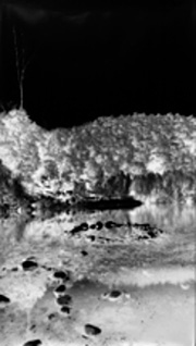
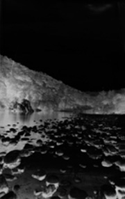
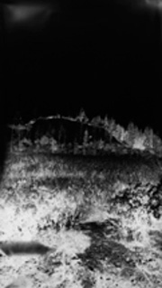
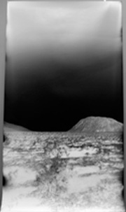
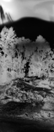
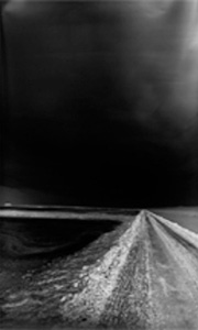
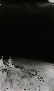
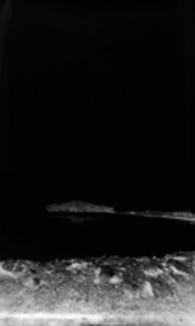
The top three photos are from Malakoff Diggins and the Yuba River. This area is northeast of Sacracmento by about 60 miles. Hydraulic excavation was used at this site to mine for gold, silver and other minerals. This is an incredibly descrutive form of mining, and highly toxic due to the use of mercury, which helps locate the gold and silver. The run-off from this mine extended all the way to the San Fransisco bay, and completed flooded several towns along the way. High levels of mercury are still found in the rivers and streams nearest the Diggins.
page 3
Julie Shafer
|
Julie Shafer
|
|
|
||
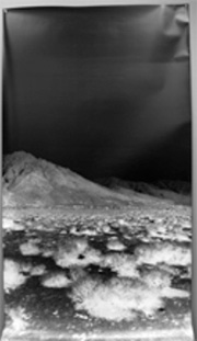
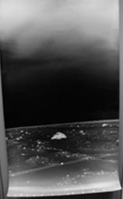
The previous three images are from the Owens Valley, specifically at Cerro Gordo (Fat Hill,) a very lucrative silver mine. The silver from this mine directly funded the pueblo of Los Angeles and the water from the Sierras and Owens Lake was re-directed for the aqueduct.
page 4
The above image is also from Malakoff Diggins |
|
|
The above image is in Owens dry lake bed looking toward Cerro Gordo
page 5
|
|
|
The previous two photos are from Eureka, CA near Humboldt Bay, and looking toward Indian Island. This area was rich in gold in and silver and thousands of Native Americans, from differing tribes, were displaced. Miners had executive order to take whatever lands they wanted to prospect. Indian Isalnd is named for a thousand Native Americans that were moved to this island after being displaced from their land. In one nighttime ambush white miners attacked and killed almost all women and children stranded on the island. As a result Fort Humboldt was built to “keep the peace."
RELATED PLACES Malakoff Diggins, Northern Sierra Nevadas


